


Error! Unable to Find Specified Location!
Featured Stories
-
Wildflower Update +
Without rain there can be no wildflowers, so we here at Deathvalley.com want to thank Ms. Schultz for sharing a photo she caught of a rare full double rainbow last October on highway 190 (full size below). We are fairly certain that this rainbow was part of the storm that caused so much havock and yet is directly responsible for this year's superbloom. Read More -
Wildflowers Spotted in Death Valley +
Death Valley Natural History Association has reported one of the earliest blooms in recent memory in Death Valley National Park. Heavy early rains (and the flooding it has caused) seems to have put the delicate and ephemeral desert wildflowers on show as they take advantage of the record moisture. Peak viewing generally occurs in late-February through mid-April, but wildflowers can be seen in the higher elevations of the even in… Read More -
Severe Storm Causes Road Closures +
In an ominous preamble to the expected El Nino this year across California, a series of severe thunderstorms passed over Death Valley National Park, knocking down power lines and stranding park rangers and visitors alike in the Ubehebe Crater in the north end of the park. Feet of mud has been reported at Scotty’s Castle Visitor Center, the exterior of which is surrounded by mud and debris. Roads across the… Read More -
Mystery of The Death Valley Sailing Stones Solved +
In a remote corner of Death Valley National park, cradled in between the Cottonwood and Last Chance mountain ranges, Racetrack Playa presents an intriguing natural history mystery. Here, slabs of dolomite and syenite, ranging in size from a couple of pounds up to 1,000 pounds, leave visible tracks as they slide across the playa surface, without any sign of human or animal intervention. For decades visitors and scientists alike have… Read More
- 1
Editor's Pick
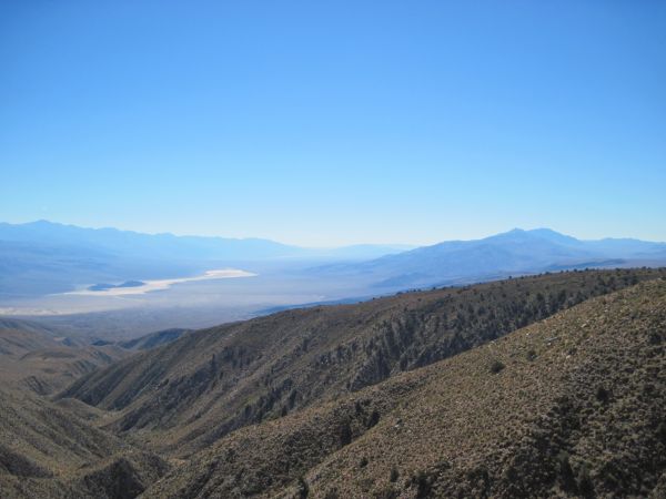
- Sights of Wildrose Canyon Road
- Darwin Falls
- Ubehebe Crater & The Racetrack
 This beautiful drive through the Panamint high-country winds through dozens of vista points, ghost towns, forests, and more!
What better way to enjoy the summer heat than to take a scenic hike to one of the Park's tallest waterfalls!
Striking waterfalls give welcome relief to the summer heat!
Read MoreOne of the mysteries of the valley, the sliding rocks of the Racetrack have never been observed in motion!
A visit to Ubehebe Crater is an excellent sidetrip from Scotty's Castle.
Read MoreCharles Hatfield is just one of many interesting characters in California history. Part I will introduce you to him and his amazing rainmaking skills. Part II, which will appear at a later date, will take you further into his career, as he makes a whole lot of rain in the Bonanza Gulch area of the El Paso Mountains in the Western Mojave, and further south in San Diego.
On a hot summer day, perhaps like the one you may be experiencing as you read this, Laura Ingalls Wilder and her husband, worried over several dry years that were scorching their Dakota Farm. She knew she could sow the seed, but God would have to provide the much needed water, and he just wasn’t doing that. She speculated that God had created a higher atmosphere around the earth that was full of moisture, just for the taking, and God had provided man with the brains to figure out how to tap that force. She had heard of a man in California named Charles Hatfield who supposedly had learned how to do just that, and wrote about him in a little column she wrote in May 1924.
We went out with a film documentary crew on Saturday. It's a little independent company out of New York, that found our website doing an internet search. We met with Robert & Carissa at a restaurant in Sunland about 1:00. We got acquainted over sandwiches, then took off in our 4x4 4-Runner for Jawbone & The El Pasos. Robert was the cameraman, and Carissa handled the sound. Very nice young couple. Robert sat in front with Roger, filming scenery and Roger's history and geology talk along the one and half hour drive from our Los Angeles foothill neighborhood to the Western Mojave.
Since the documentary is about weather, and rainmaking, we pointed out all of the Los Angeles aqueduct sites along the way. Also pointed out (without stopping) other historical sites like Vasquez Rocks, Placerita Canyon, San Andreas fault, etc. Roger conveniently tied everything into our ghost town, Cerro Gordo, & the story of Los Angeles as well.
Read more: A Day Of Documentary Filmmaking In The Western Mojave
Editor's Note: Please join us in welcoming Cecile Vargo as DeathValley.com's newest columnist. Many of you know Cecile through her popular and entertaining web site, www.ExploreHistoricCalif.com, and we're proud that she'll be periodically sharing her articles with our readers.

For two days we lived isolated on the mountain, with only a few daring to venture up the Yellow Grade Road while we were there. We soaked up as much loneliness, and old time atmosphere as we could, but sadly had to come back to the real world. The transition from a ghosttown on a mountaintop in the Inyos above Owens Valley caught between the 19th, 20th, and 21st century to the reality of the modern 21st century life in the foothills of the San Gabriels here in Los Angeles is always a hard one. I spend the morning unpacking, and getting settled back in again, but I always try to savor the sweet solitude that I had on the mountain for awhile longer as well.
Death Valley Weather

?°
?°
°F | °C